- Lovro Koncar-Gamulin
- laufend
City Layers
CITIZEN MAPPING AS A PRACTICE OF CITY-MAKING
Nowadays, cities are increasingly being transformed by data technologies and digital platforms at the macro level, causing gaps in the knowledge and understanding of our local urban spaces and processes at the micro level. How can we make future urban interventions more in sync with the citizens’ needs? How can citizens themselves contribute to the spatial changes they want to see in their cities?
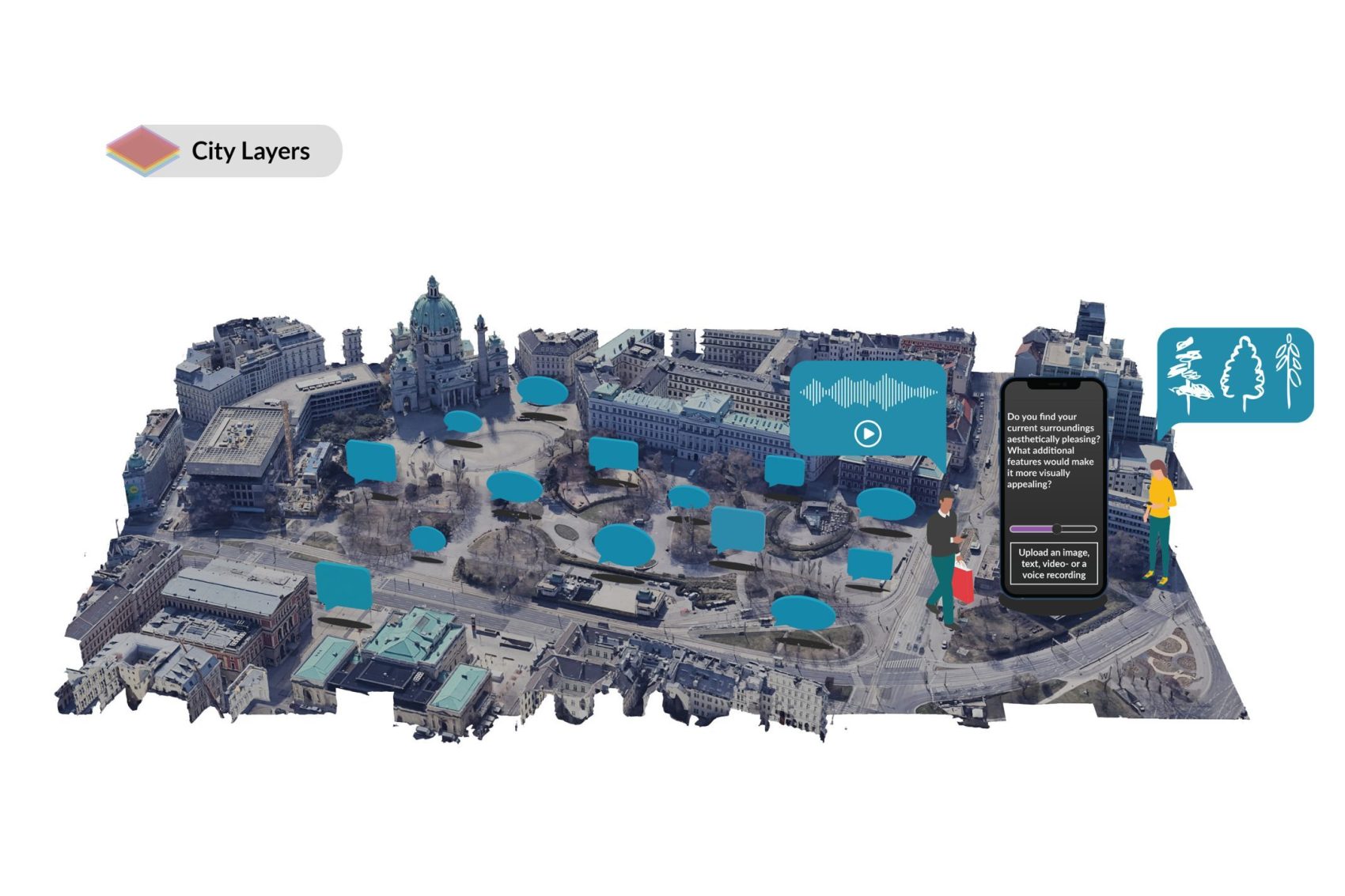
The project proposes an innovative framework for city-mapping which centres on citizen experience of urban space as an integrative way to contribute to more livable cities. The research aims to deepen the engagement between citizens and urban design by offering an app-based participatory tool that allows citizens to identify, record and reflect upon a range of different material and immaterial parameters in their cities, including noise, public space accessibility, feeling of safety, aesthetics, amenities and weather resistance. The innovative city mapping app aims to become a means of communication between citizens and the city, with the aim of creating a new type of data that is collectively generated, managed and cared for.
By recognizing and voicing their subjective experiences in specific spaces, citizens procure meaning and values, but also provide valuable data on how these spaces can be improved. Citizens‘ contributions are made available online for active use. This innovative mapping tool thus aims to reorganise individual observations into collective knowledge and brings out the strengths of citizen participation in urban design. The collected data is intended to enable a basis for a better dialogue between those who use urban space and those who plan it. Therefore, the research recognises the citizen science approach as a radically democratic and urgent strategy for identifying the essential components which constitute a city.